
Print Version Pennine Way: In the Time of Covid (Paperback 106 Pages)
eBook Version Pennine Way: In the Time of Covid
Sign Up to Download Free pdf Pennine-Way (6mb)
An account of walking the Pennine Way in the time of Covid 2020.
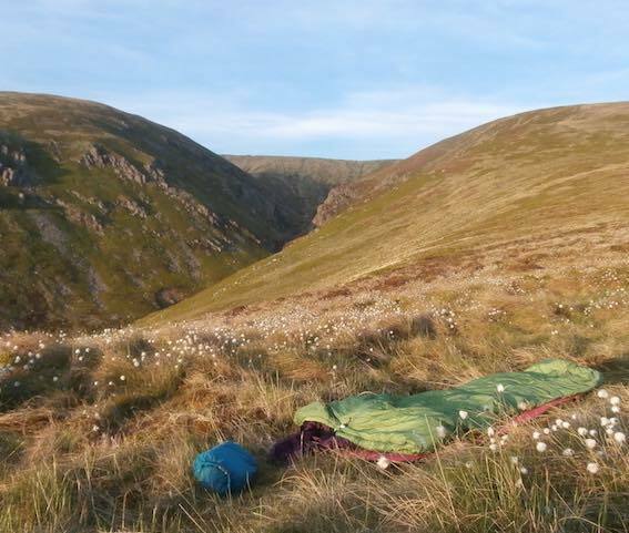
The Pennine Way is a tough old walk. It’s about 250 miles long (400 km), was the first National trail in England and is one of the most famous long-distance walks. I did it a couple of weeks before I should have, during the Covid pandemic of 2020, when the guidelines encouraged outdoor exercise but advised against overnight stays away from home. There was no accommodation or catering en route and few shops open. I arranged two poste-restante food drops at post offices in Alston and Hawes at approximately one-third and two-thirds of the way. That meant I had to wild camp and carry food for a week.
Wainright
Alfred Wainright, who devised the walk in 1938, said he wrote the account of the walk as one of his ‘pictorial companions’ for himself, so he could relive the walk back in the comfort of home. In part, that’s what motivated me. But I also needed to make sense of what I’d done, to map it out, and to fit the parts together as a whole.
Covid lockdown
Doing the Pennine Way in the time of Covid lockdown was a great time to do the Pennine Way. No one else was on the walk. In fact hardly anyone had done it for months and nature had reclaimed the way and at times the path was almost indistinct. The guidelines that everyone should stay at home meant that the villages and settlements I passed through were deserted. It was like a sci-fi movie when everyone has disappeared.
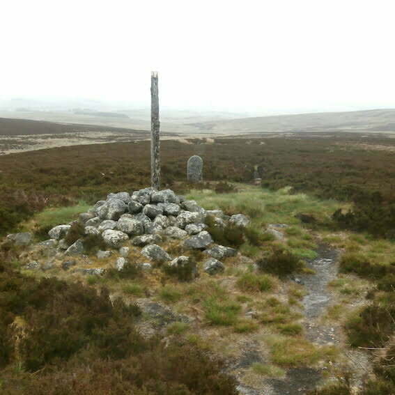
The Pennine Way is wild in the sense that it is unpopulated and in time of Covid, devoid of people. And because of this you see a lot of nature and its workings. But it is not a wilderness. The whole way you see the hand of man shaping the environment. Even on the open moors’ you see that men have created this habitat to run sheep and shoot grouse. The settlements, their location, form and material are defined by topography and geology and contrived by people over a long history. You feel this in the rusty latch of a gate, the stonewall of a barn, the quarries and the mineshafts, the drovers’ roads and the pathways marking the desire lines of rural life. I became a connoisseur of stiles and bridges; some well contrived, others less so.
The best bit
Various people asked me what I thought was the best bit. I struggled to answer – so many things, no one thing. It’s as if on a long trip like this many things happen, too many detailed experiences for the mind to hold. They merge and blend. This was an exceptional time. No one else was doing the Way, and very few people were about, either on the hill or in the villages. It was like a sci-fi movie. For most people, doing the way would have been a convivial experience – companionship, meeting other walkers, cafes, and pubs. My experience was totally different. Deeply satisfying and at times, in the evening looking for somewhere to camp or getting lost, anxious making.
My legs are not as strong as they were. Nevertheless I made it without mishap. I’d done it. Slowly, but done it well, in good style and in a decent time. And I’ve experienced a lot, know more about nature, geology, local history of the places and counties I’d walked through, and it had reaffirmed my understanding that putting one foot in front of the other and keeping going you accomplish great things.

2 responses
This should be the best collection of blogging website i ever found out. Wilma Melvyn Martella
Wilma
thank you. I appreciate it.
Steve